 Grand Treasure Island
Grand
Treasure
Island
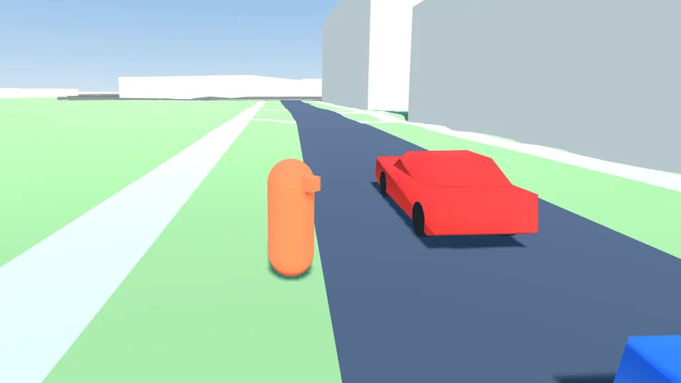
The downloadable version looks a lot nicer: shadows, better lighting, sunsets.

Watch the trailer
About the game
Location
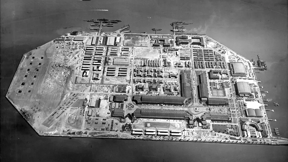
Treasure Island, San Francisco
Map data © OpenStreetMap contributors · OpenMapTiles
- 0.63
- square miles
- 16
- miles of road
- 199
- buildings
- 540
- street signs and furniture
- 35
- kinds of plants
- 458
- cars
All playable.
All modeled with AI.
- Modeled by Claude Opus 5.5
- Some buildings modeled with GPT-6 Astra
- Textures generated with GPT Image 2
- Sound effects generated with ElevenLabs Sound Effects v3
- Built from public and private photographic sources
- Map data from OpenStreetMap, terrain from USGS geodata
Real and modeled
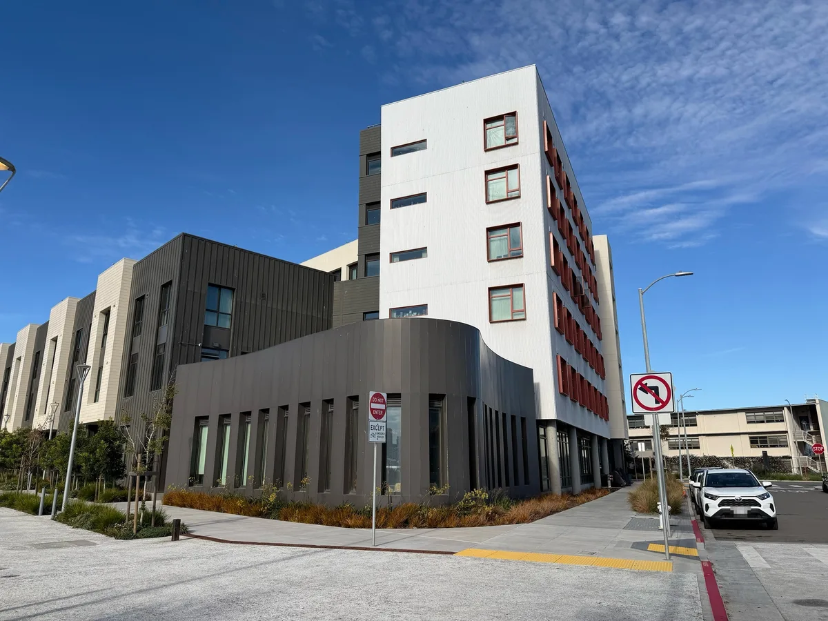 Real
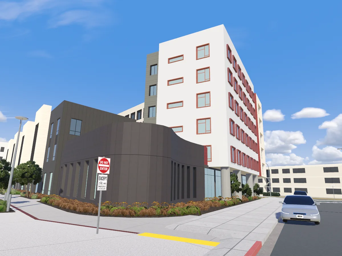 Modeled
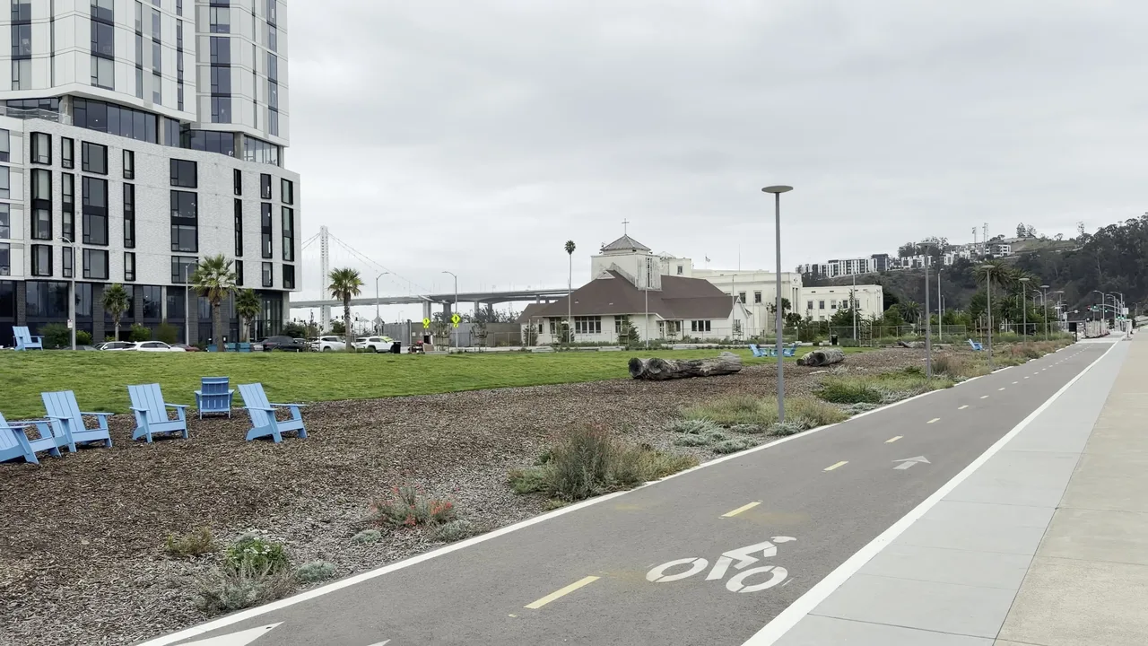 Real
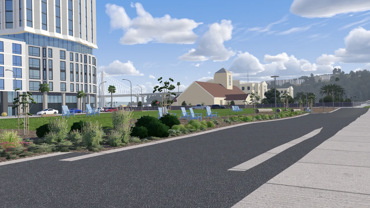 Modeled
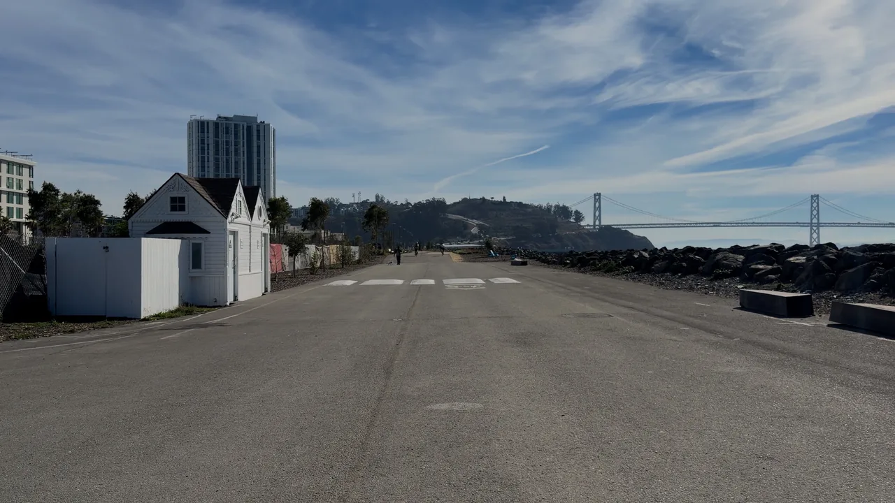 Real
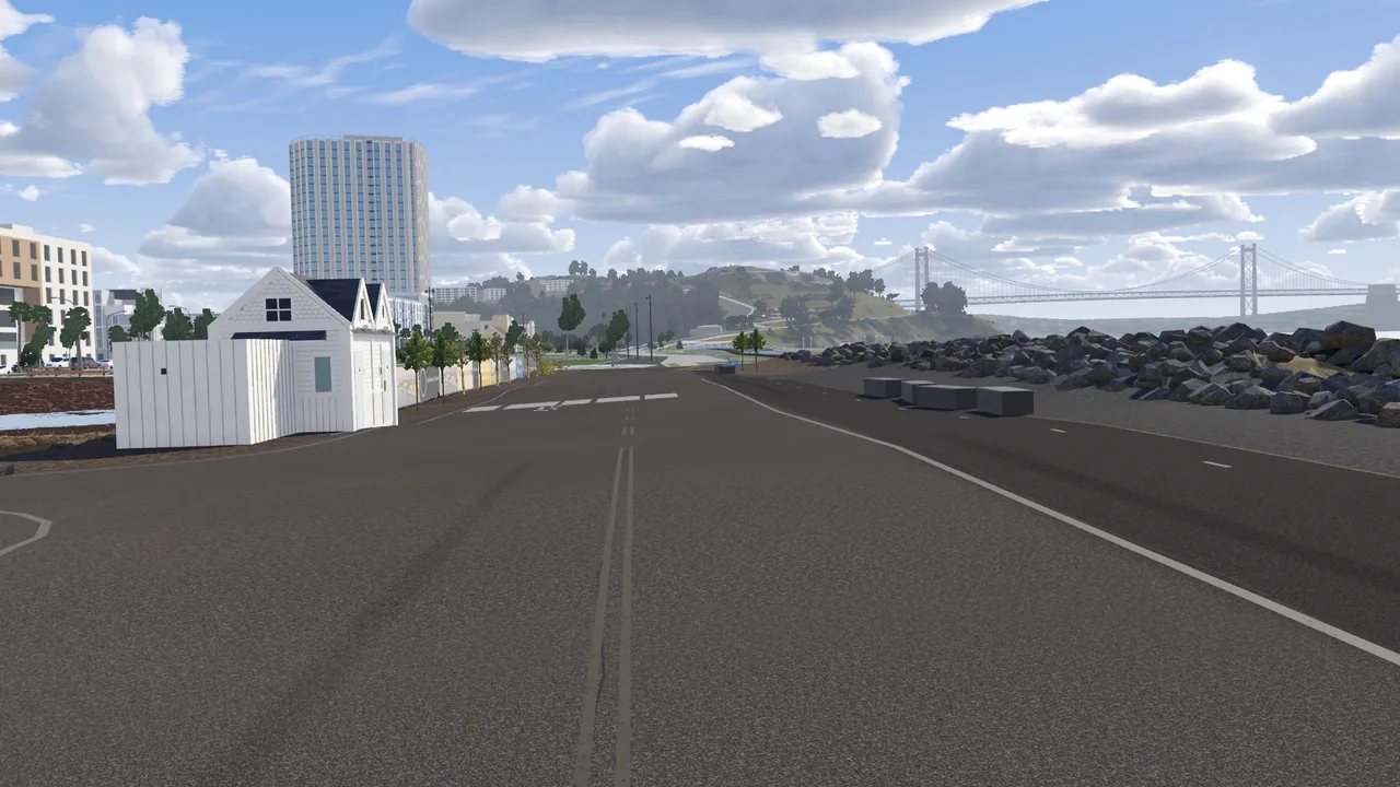 Modeled
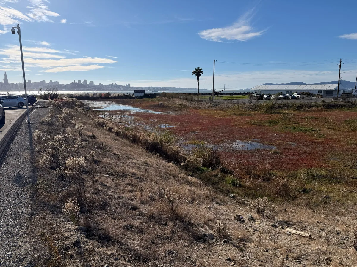 Real
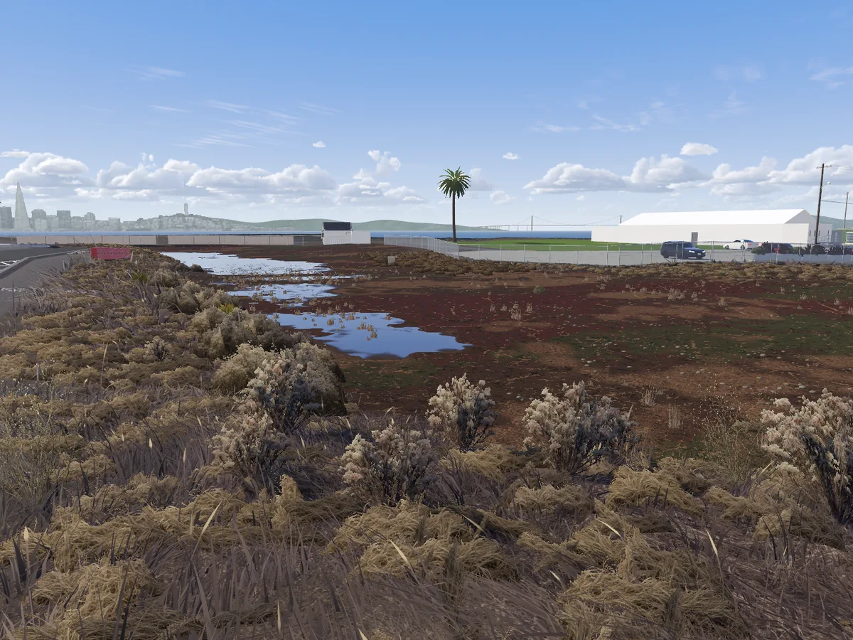 Modeled
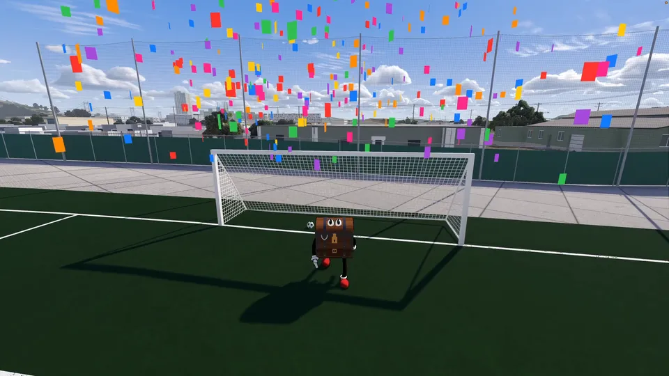
Character
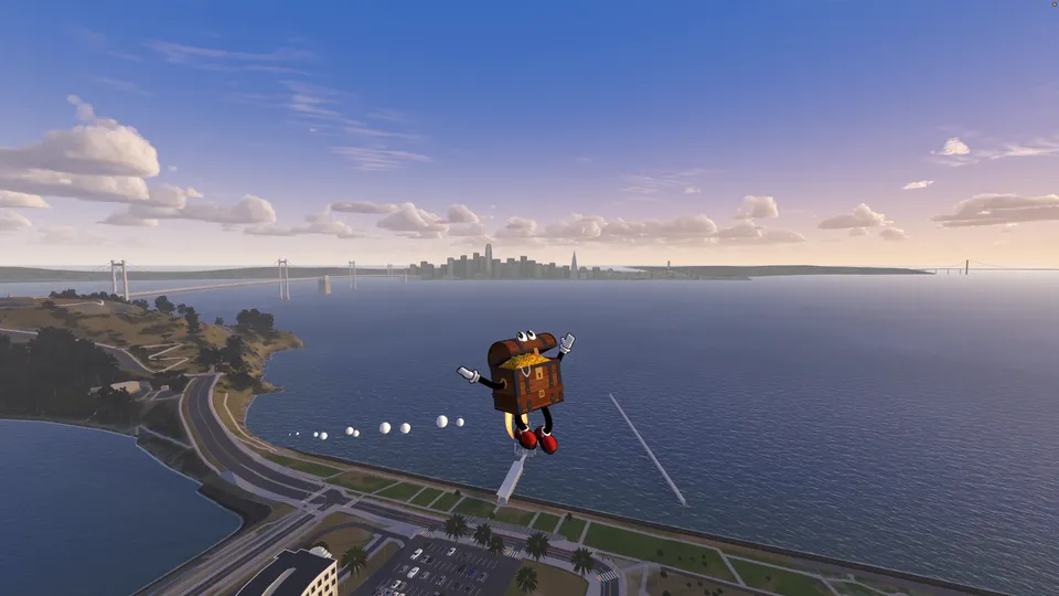
Step into the shoes of Chester Schatz. You spent five years in the hole for a crime you didn't commit, because you had dirt on the wrong people. Now you're back where it all started: Treasure Island.

Activities
Explore all of Treasure Island, San Francisco, and live a life of leisure, exploration and light trespassing.
How we built this
How we built this
The goal was to model an entire island using AI at the level of a modern video game. We're not there yet, but we're a whole lot closer than when we started.
My role as an engineer in this was to raise the bar. I playtested a lot.
- 3 months
- a lot of tokens
- 16 miles of road
- almost 200 buildings
01
Start from data, not from prompts
The terrain comes from USGS lidar and the road layout from OpenStreetMap. That gave us every road, path and fence, and the footprint of every building. Code bakes all of it into the island, and agents fix the parts that don't look good.
USGS lidar terrain, OpenStreetMap roads and building footprints 02
An agent team
I talk to one agent, the foreman. The foreman doesn't build anything itself. It hands each job to a team of agents and reviews what comes back. The whole team is in the repo.
Builder ↗
Models the buildings and writes the code
Researcher ↗
Finds a dated photo for every side
Code reviewer ↗
Reads every change for sloppy code
Bar raiser ↗
Compares the game with photos and sends work back
Progress reviewer ↗
Asks if it was the right thing to work on
Efficiency reviewer ↗
Watches the team for wasted work
Writer ↗
Keeps the rules and lessons up to date
03
Agents check agents
Agents are still very willing to pass mediocre work as “fits the spec.” So every change gets looked at in the actual game by agents that didn't make it. One of them is the bar raiser: it compares the game with photos of the real place and sends work back until it gets closer. The dev box runs up to four copies of the game at once, so checking keeps up with building.
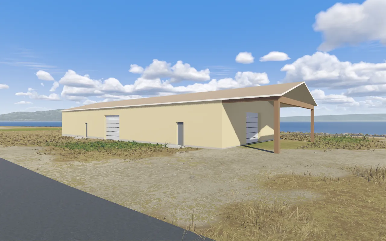
Sent back
“Two kept doors on photographed faces contradict the dated photos.”
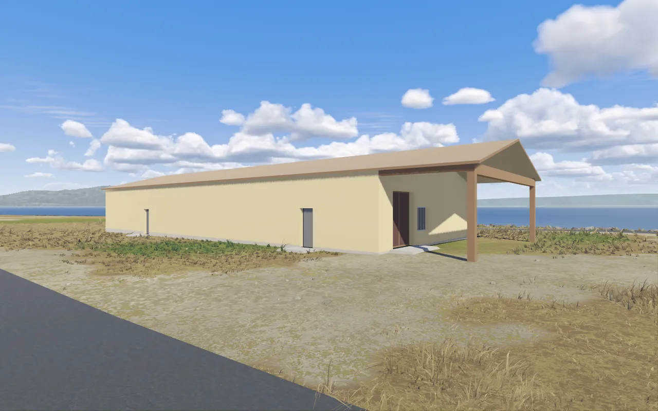
Passed
“All three must-fixes are done, and nothing from the earlier round has come back.”
The shed at 899 13th St, same camera, two rounds of the same review on 2026-11-15 04
Breadth and depth
We had to model every building, and some buildings deserve a lot more. So each building has a level of fidelity: first the shape, then doors, windows and roofs, then details, then materials. The agents finish the whole island at a low level first, and then we keep pushing the buildings that matter most.
05
Systems, not hand placement
We didn't let agents hand-place every tree. Procedural systems spread plants across beds, lay out mulch and scatter vegetation. Same for buildings: a family is a group of buildings that share one design, like the townhouses with garages on Sturgeon Street. We designed each family once, and every building in it gets its own variation: colors, shutters, roofs. Windows and doors go on a grid that a system fills in, instead of an agent placing them by eye.
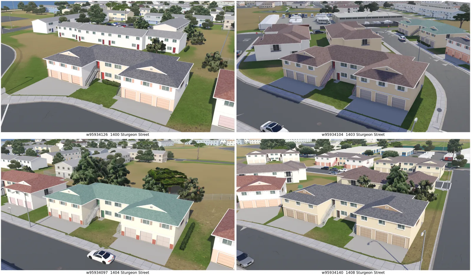
One housing design, four instances on Sturgeon Street 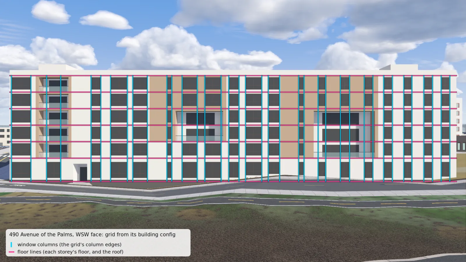
490 Avenue of the Palms: the window grid, measured from photos, drawn over the facade Housing family: 113 · Midrise family: 61 · One-offs: 25 06
A mix of methods
Photos never make it into the game. They're only a source. The inputs are measured open data and photos, public and my own. Then it's a mix of methods: code turns the data into the island, agents model things like the pelicans, and procedural systems vary the trees, the flower beds and the buildings. The output is the island.
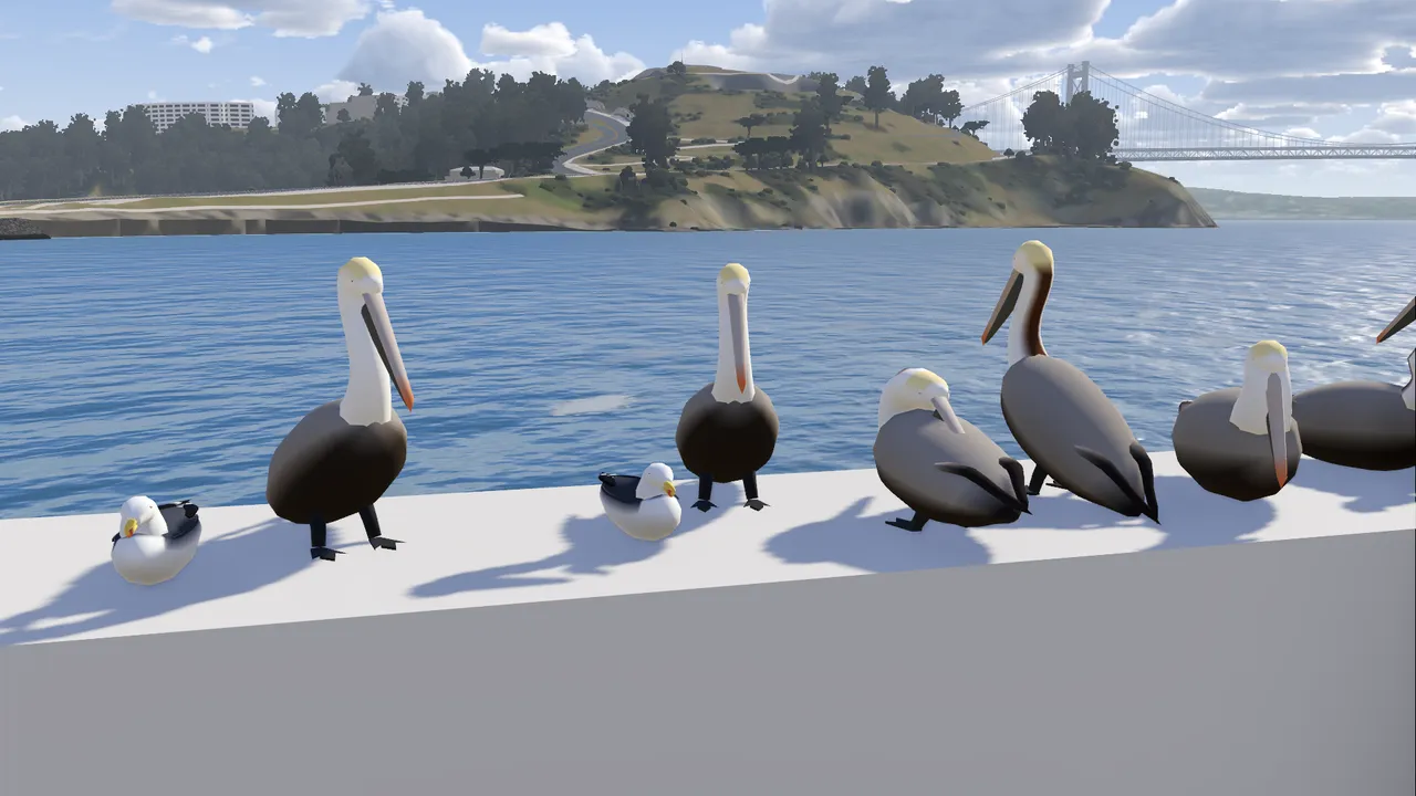
Agent artwork: pelicans on the breakwater 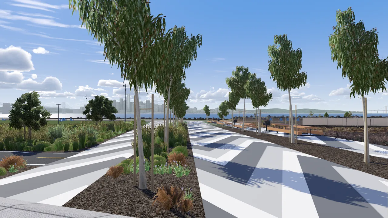
Procedural: blue gums, each one varied 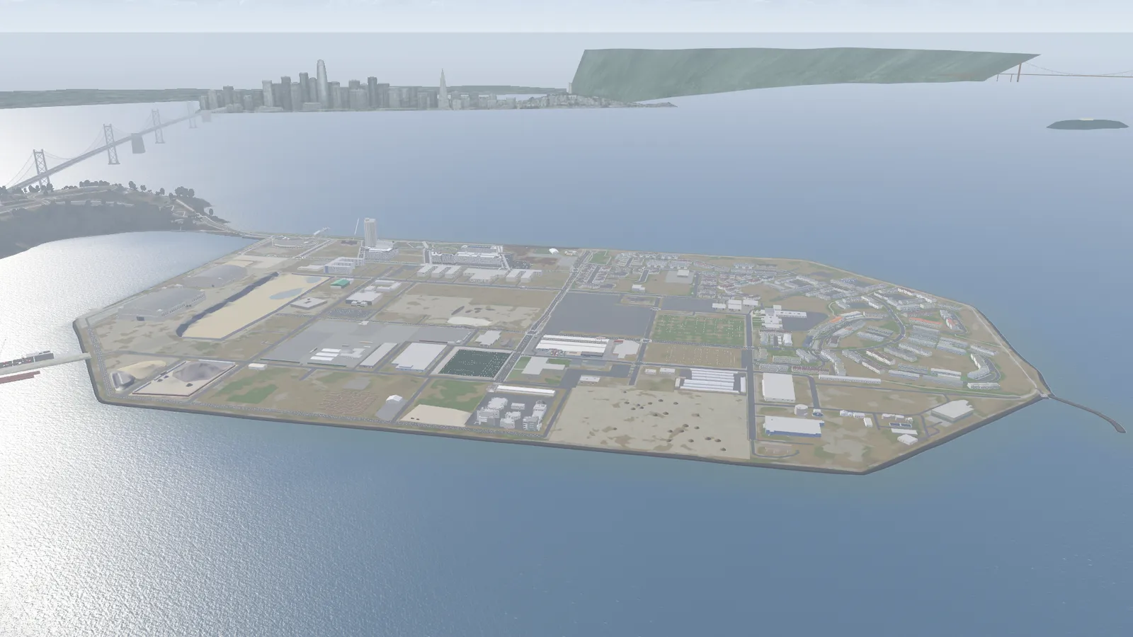
The output: the island 07
Better input, better output
Buildings modeled only from public photos came out mediocre. Once I added my own video footage, they got a lot better.
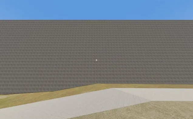
Before: public imagery only
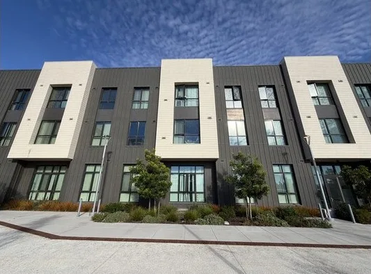
My photo
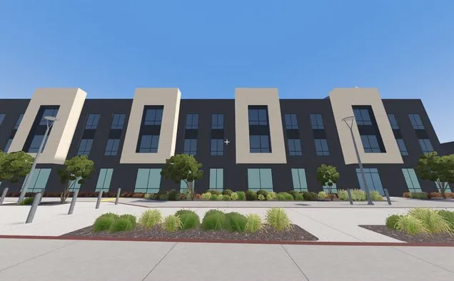
After: built with my photos
Maceo May, city side 08
Chester
Claude animated Chester, the main character, with a rubber-hose animation system. That worked shockingly well. It was the biggest surprise of the project.
Chester's rubber-hose arms on the jetpack 09
Why Godot
We used an established game engine instead of hand-rolling a web renderer. Godot gave us physics for the player and the cars, a modern renderer, a game camera, and builds for Mac, Windows, Linux and the browser from one project. All of that would have been pretty hard to build ourselves.
10
How far can this go?
I still don't know. Right now we're at a GTA 3, GTA 4 level. But every big jump so far came from better input and a higher bar, not a better model: Maceo May went from a grey box to a building you recognize once it had my photos. What runs out is time, tokens and photos. When my agents say “the models aren't there yet”, they never show it. So I haven't seen anything that says we can't push further.
What's next
See you on Treasure Island
It's free. Play it in your browser, or download it for Mac, Windows and Linux.
Questions or feedback? Post to @phppco on X · or open an issue on GitHub